What Affects Rates in Sandy
- Teen drivers in Sandy frequently use I-15 for school commutes to Alta High School, Jordan High School, or employment in Midvale and Draper, entering highway traffic at speeds exceeding 65 mph. The I-15/I-215 interchange near 10600 South sees elevated accident rates during morning and afternoon rush periods when inexperienced drivers merge across multiple lanes. Parents adding teens to policies should expect insurers to factor in this daily highway exposure when calculating premiums.
- Sandy's major east-west routes—9000 South, 9400 South, and 10600 South—carry heavy suburban traffic between residential neighborhoods and commercial centers, with teen drivers navigating left turns across three lanes during peak hours. These arterials connect to employment hubs at South Towne Center and The Cairns, where teen workers commute during evening hours with reduced visibility. Collision coverage becomes particularly relevant on these corridors where side-impact and rear-end crashes are common for new drivers misjudging gaps in traffic.
- Teen drivers living in Sandy's eastern neighborhoods use Wasatch Boulevard and 9400 South to access Big Cottonwood Canyon for recreation, encountering steep grades, sharp curves, and black ice conditions from October through April. The stretch between 9800 South and the canyon mouth sees multiple winter weather accidents annually involving younger drivers unfamiliar with managing speed on descents. Parents should discuss whether comprehensive coverage thresholds make sense given the higher likelihood of weather-related claims in Sandy's foothill areas compared to valley-floor communities.
- State Street through Sandy operates as a continuous commercial corridor with constant parking lot entries, pedestrian crossings near Jordan Commons and Historic Sandy stations, and distraction-heavy environments for teen drivers. Teen employment at retail centers along this route means frequent evening and weekend driving during periods when younger drivers statistically have higher accident rates. Uninsured motorist coverage carries additional weight here, as State Street's commercial density attracts drivers from throughout the valley, including higher-than-average uninsured rates.
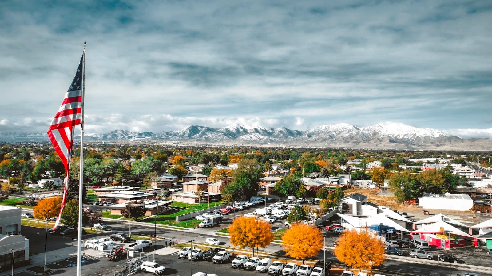
- Unlike urban Salt Lake City where teens may use TRAX more frequently, Sandy's suburban layout means teen drivers accumulate higher annual mileage driving to school, work, and social activities spread across the city's 24-square-mile area. Insurance companies typically assign higher risk scores to suburban teen drivers who log 8,000–12,000 miles annually compared to urban counterparts driving 4,000–6,000 miles, directly impacting whether adding a teen to a parent's existing policy or securing a standalone policy offers better value.
See what adding a teen driver actually costs in your state
Compare quotes from carriers that offer good student discounts — most parents find savings they didn't know were available.
Get Your Free QuoteCoverage Recommendations
Cost estimates are based on available industry data and vary by driver profile. These are not insurance quotes.
Liability Insurance
Sandy's I-15 and I-215 exposure means teen drivers risk multi-vehicle highway accidents with substantially higher liability claims than surface-street collisions.
State minimum typically adds $80–$150/mo for teen drivers; 100/300/100 limits add $120–$200/moEstimated range only. Not a quote.
Collision Coverage
Teen drivers navigating left turns across State Street's three-lane corridors and merging onto I-15 at 10600 South face elevated collision risk during Sandy's rush-hour traffic.
Adds $100–$180/mo for teen drivers with $500 deductibleEstimated range only. Not a quote.
Comprehensive Coverage
Sandy's foothill neighborhoods along Wasatch Boulevard experience winter weather damage and deer activity that make comprehensive coverage more valuable for teen drivers accessing canyon areas.
Adds $40–$80/mo for teen drivers with $500 deductibleEstimated range only. Not a quote.
Uninsured Motorist Coverage
State Street's commercial corridor attracts drivers from throughout the Salt Lake Valley, where uninsured rates vary significantly, making this coverage particularly relevant for teens working retail shifts along this route.
Adds $30–$60/mo for teen driversEstimated range only. Not a quote.
Medical Payments Coverage
Sandy's suburban layout means longer emergency response times in eastern foothill areas compared to urban cores, making immediate medical expense coverage more practical for parents of teen drivers.
Adds $15–$35/mo for $5,000 coverageEstimated range only. Not a quote.